Abstract
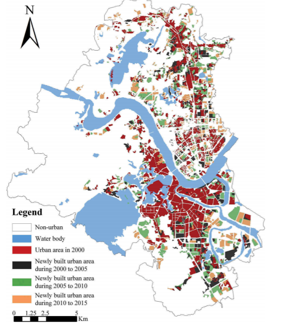
Simulations of intra-urban land use changes have gradually attracted more attention as these approaches are extremely helpful in regard to decision making and policy formulation. While prior studies mostly focused on methods of developing intraurban level simulations, very little research has been conducted explain the factors driving intra-urban land use change. Urban planners are highly concerned with how inner-city structures are formed and how they function. Here, to simulate multiple intra-urban land use changes and to identify the contribution of different driving factors, we developed a random forests (RF) algorithm-based cellular automata (CA) simulation model. In this study, the model applied diverse categories of spatial variables, including traffic location factors, environmental factors, public services, and population density, as the driving factors to enhance our understanding of the dynamics of internal urban land use. The CA model was tested using data from the Huicheng district of Huizhou city in the Guangdong province of China. The Model was validated using actual historical land use data from 2000 to 2010. By applying the validated model, multiple intra-urban land use maps were simulated for 2015. Simultaneously, spatial variable importance measures (VIMs) were calculated by using the out-of-bag (OOB) error estimation approach of the RF algorithm. Based on the calculation results, we assessed and analysed the significance of each intra-urban land use driver for this region. This study provides urban planners and relevant scholars with detailed and targeted information that can aid in the formulation of specific planning strategies for different intra-urban land uses and support the future evolution of this area.

Q.E.D.


