


Abstract
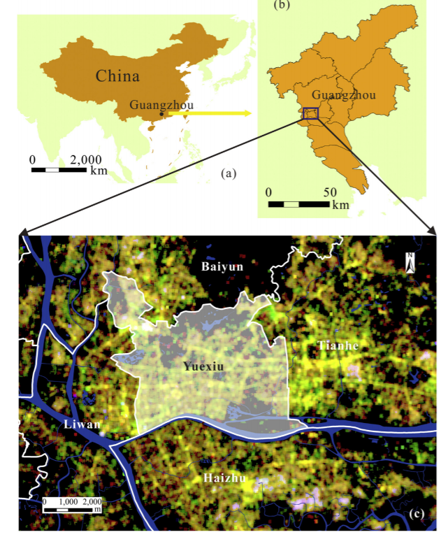
This paper presents a novel method for delineating urban functional areas based on building-level social media data. Our method assumes that social media activities in buildings of similar functions have similar spatiotemporal patterns. We subsequently apply a dynamic time warping (DTW) distance based k-medoids method to group buildings with similar social media activities into functional areas. The proposed method is applied in the Yuexiu District, Guangzhou, China. We carry out two clustering experiments with k = 2 and k = 8. In the experiment with k = 2, buildings are separated into two groups based on density values.Buildings withhigherdensity are situatedmainly withinthe traditional city core andurban villages in the northern part of study area. The results for k = 8 suggest that most buildings have mixed functions. In addition, heterogeneity can be discerned even in the clusters with similar urban functions. Concentric spatial structures are observed in urban villages that were previously deemed disordered. We also assess the diversity of urban functions at the community level and identify several potential 'central places' based on hot spot analysis. Our analysis provides an alternative way of characterizing intra-city urban spatial structure and could therefore inform future planning and policy evaluation.
Q.E.D.