


Title: Exploring the Impact of Park and Surrounding Environments on Violent Crime in Wuhan: An XGBoost-SHAP Approach
Abstract
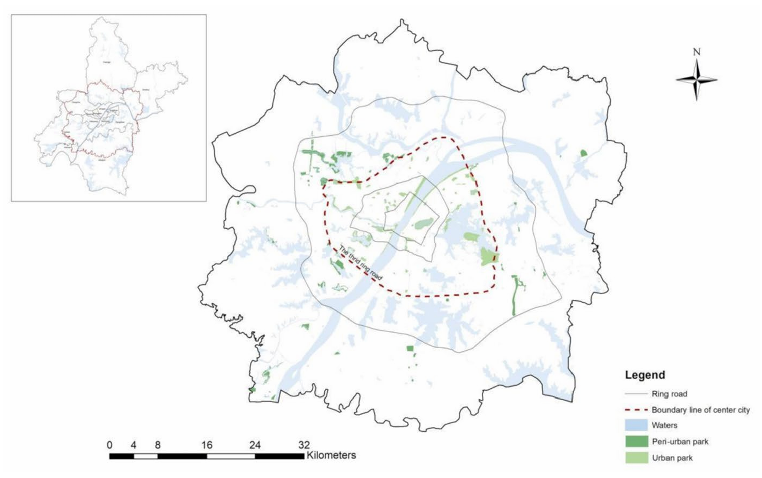
Violent crime poses a significant barrier to the equitable use of urban park amenities and access to their associated benefits. While machine learning has emerged as a promising tool for exploring the relationship between park environments and crime, the opaque nature of many models has hindered insights into underlying mechanisms. Moreover, most existing studies have concentrated on parks in central urban areas, overlooking peri-urban parks that increasingly serve expanding metropolitan populations. To address these gaps, this study employs an interpretable machine learning approach, XGBoost with SHAP values, to examine how the environments of both urban and peri-urban parks in Wuhan, China, influence violent crime. We assess four domains of contextual variables: accessibility, built environment, land use, and socioeconomic conditions. Results indicate that while violent crime rates are generally higher in urban parks, park location itself is not a significant standalone predictor. Both accessibility and built environment factors demonstrate nonlinear and context-sensitive associations with violent crime. Despite the potential of environmental design in crime prevention, disadvantaged neighborhoods remain disproportionately affected by unsafe park conditions. These findings highlight the need for place-sensitive planning strategies and demonstrate the value of interpretable machine learning in advancing spatial crime analysis.
Keywords
Urban park
Park environment
Violent crime
XGBoost-SHAP method
Wuhan
Full Text Download
Applied Spatial Analysis and Policy
Q.E.D.